A team of researchers at the Washington University School of Medicine and the Brown School has published the first in a series of “community snapshots” of the St. Louis region and the social needs that can impact cancer prevention and treatment. Each snapshot will contain local data, a personal story, resources to address the issue and researchers who may be seeking community partners in connection with the issue.
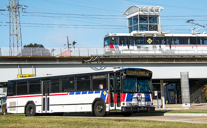
The first snapshot is about transportation, and how infrastructure like sidewalks, bike lanes, and public transit can help people stay healthy and make it easier to access health care services, including cancer care. Transportation barriers can lead to missed or delayed appointments, overall poorer health and widened health disparities.
“In our discussions with community partners, transportation emerged as a really important need,” said Kia Davis, an assistant professor in the Division of Public Health Sciences at the School of Medicine. She co-leads the practice surveillance unit of Washington University’s Implementation Science Center for Cancer Control (ISC3) with Bettina Drake, professor of surgery.
The ISC3 brings together faculty and researchers from the Brown School, School of Medicine and Olin Business School to address cancer disparities in the region, focusing on rapid implementation research to increase the reach and effectiveness of cancer-control interventions. The focus of the center is the area in Eastern Missouri and Southern Illinois served by the Siteman Cancer Center at the School of Medicine. ISC3 is led by Ross Brownson, the Lipstein Distinguished Professor at the Brown School and the School of Medicine; and Graham Colditz, the Niess-Gain Professor of Surgery at the School of Medicine.
“The snapshots are one way to understand how social determinants like transportation are related to cancer outcomes, such as screenings,” Davis said. The transportation brief uses published data and national resources to create visual tools, such as a map of car ownership in the region. The county-by-county data revealed gaps in transportation availability, particularly in rural areas. “We want our community partners to see this data and find out who else might be interested in it to advocate to improve transportation and other social needs in the region,” Davis said.
The next snapshot will focus on financial hardship, with food insecurity and housing also on the unit’s list of topics. Other snapshots will be suggested by the communities served by ISC3. A complementary data dashboard to share this data at the zip code level is under development. The data dashboard and future snapshots will be available online.
“Our goal is to activate data that’s out there, make it specific to our catchment area, and make it available in a way that’s useful and meaningful,” Davis said.